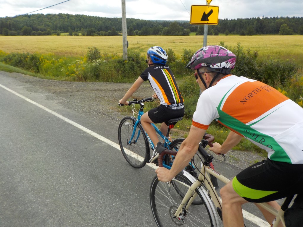
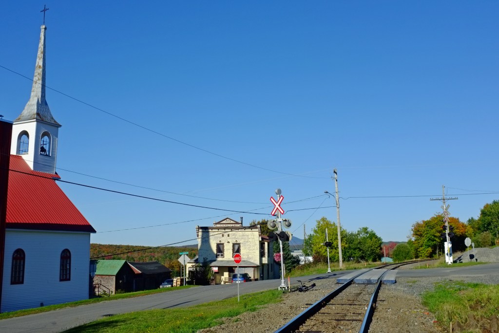
Links to the routes
a- 100% Road
Cookshire loop : 100% road (about 80km)
To the US and back – Chartierville : 100% road (about 65km)

Lac-Mégantic and Piopolis : 100% road (about 100km)

b- 100% road OR road & gravel
Mont Mégantic and Mont Saint Joseph : 100% road, or road and gravel (about 80km)

Lac Aylmer: 100% road (110km) or gravel & road (130km)

c- Gravel
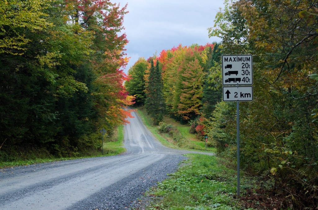
Franceville loop: gravel and some road (about 14 km, with a 27km variant)
Chemin Lucas loop: gravel and some road (about 14km)
La Patrie gravel run: mainly gravel (about 40 km)

Lingwick loop: road and gravel (about 30km)

Chemin Knicky Knocky loop : gravel and road (about 65km)

Chartierville and Notre Dame des Bois Loop : road and gravel (about 80km)
Chemin Dell and Milan loop : mainly gravel (about 55km)
Frontenac loop : mainly gravel (about 100km)
Navigation and GPX files
You can access each route’s active map in Mapometer by clicking on the static map in each route description, or by clicking on the indicated link.
Once in Mapometer, GPX files can be downloaded by first clicking ‘Actions’ in menu on left. Under ‘Actions’ you will find ‘Export’ – then follow instructions.
